CAD AVL System for Utilities
Track Star’s CAD AVL system for utilities streams high-frequency GPS and status data to your dispatch systems every 5 seconds. See speed, heading, latitude/longitude, ignition and device ID/alias so CAD maps reflect ground truth during outages, service calls, and storm restoration.

Trusted by leading fleets nationwide


What is a CAD AVL System
A CAD AVL system connects vehicles and crews to your computer-aided dispatch so dispatchers see real-time vehicle tracking and status in the same console they already use. The automatic vehicle location system delivers GPS-based vehicle location and key signals as a live data feed that your CAD or OMS can consume.
This system gives dispatch a faster, clearer picture to work with. Frequent updates and crew aliasing enable true nearest-crew assignments, tighter ETAs, and less windshield time. Operations gets one source of truth across CAD and OMS for storm triage and switching decisions, while safety/compliance benefit from clean, audit-ready location history.


What Our Clients Say
“Having equipment at the job when promised; inspecting and fueling before delivery; making business choices that positively impact everyone involved; and asking the questions that help us do right by each of our customers are at the heart of everything we do. Track Star helps us make good on our promises.”
Ed Radel
Leppo Rents
“Track Star's solution opens opportunities for NAIPTA. We have a valuable tool to help us make smarter decisions about today’s operations, and plan for the future.”
Wade Forrest
NAIPTA
"We’re able to look at usage from multiple angles and predict optimal timing for vehicle maintenance, planned maintenance prevents unexpectedly pulling a squad car out of service—and potentially impacting public safety"
Aaron Russell
City of Burleson


Why Dispatch Needs More Than CAD Mapping
Legacy CAD and OMS tools often depend on external automatic vehicle location monitoring. When that feed is slow or thin on details, decisions suffer.
• Slow updates blur nearest-crew calculations and ETAs.
• Limited fields hide ignition status or unit identifiers, complicating crew identification.
• Coverage gaps break the operational picture during storms and shift changes.
• 15+ second intervals aren’t fast enough for dynamic field operations.
Track Star provides the alternative: a CAD AVL system reporting every 5–8 seconds with speed, heading, lat/long, ignition, and device/alias ID, so dispatch acts on real-time vehicle tracking.
CAD AVL System Built for Utilities


Near-live movement (5s) keeps the nearest-crew and reroute logic accurate.

Speed, heading, GPS position, ignition state, and device/alias ID for clear map labels.

REST/JSON, webhooks, or streaming, made for your CAD/OMS and IT teams.

Cellular primary with optional multi-mode failover for storm and rural operations.

Use approved in-vehicle hardware or a mobile SDK to fit your fleet mix.

Encrypted in transit and at rest with role-based access for admins, dispatch, and integrators.
How Our CAD AVL System Works
Capture
Collects GPS and status from approved hardware or mobile apps.
Secure Transmit
Sends encrypted data to the Track Star cloud over lightweight protocols.
Standardize
Standardizes and enriches fields into a consistent, CAD-ready payload.
Deliver to CAD/OMS
Provides authenticated APIs, webhooks, or streaming feeds.
Validate & Monitor
Video proof reduces disputes and liability
Built for Every Public Safety Unit
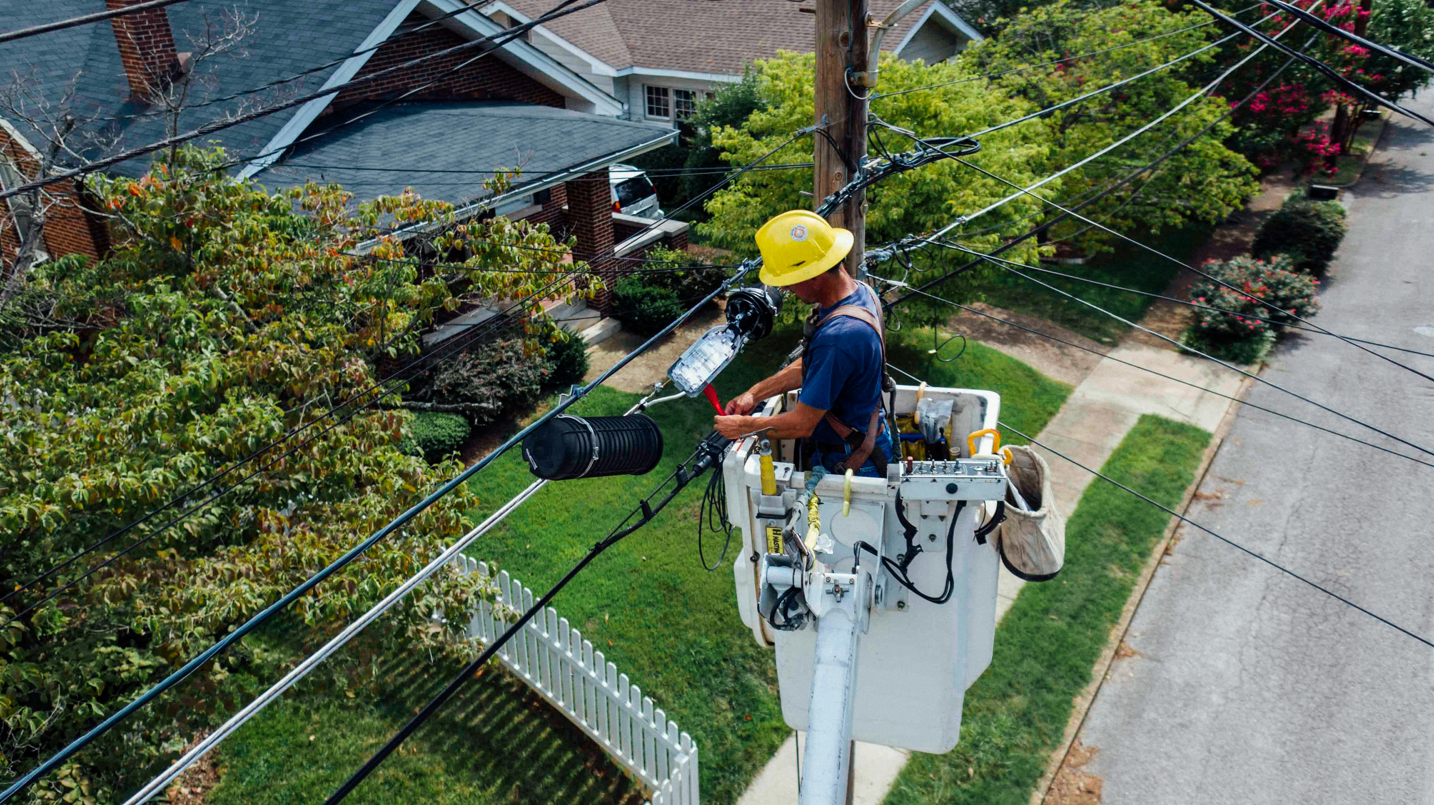
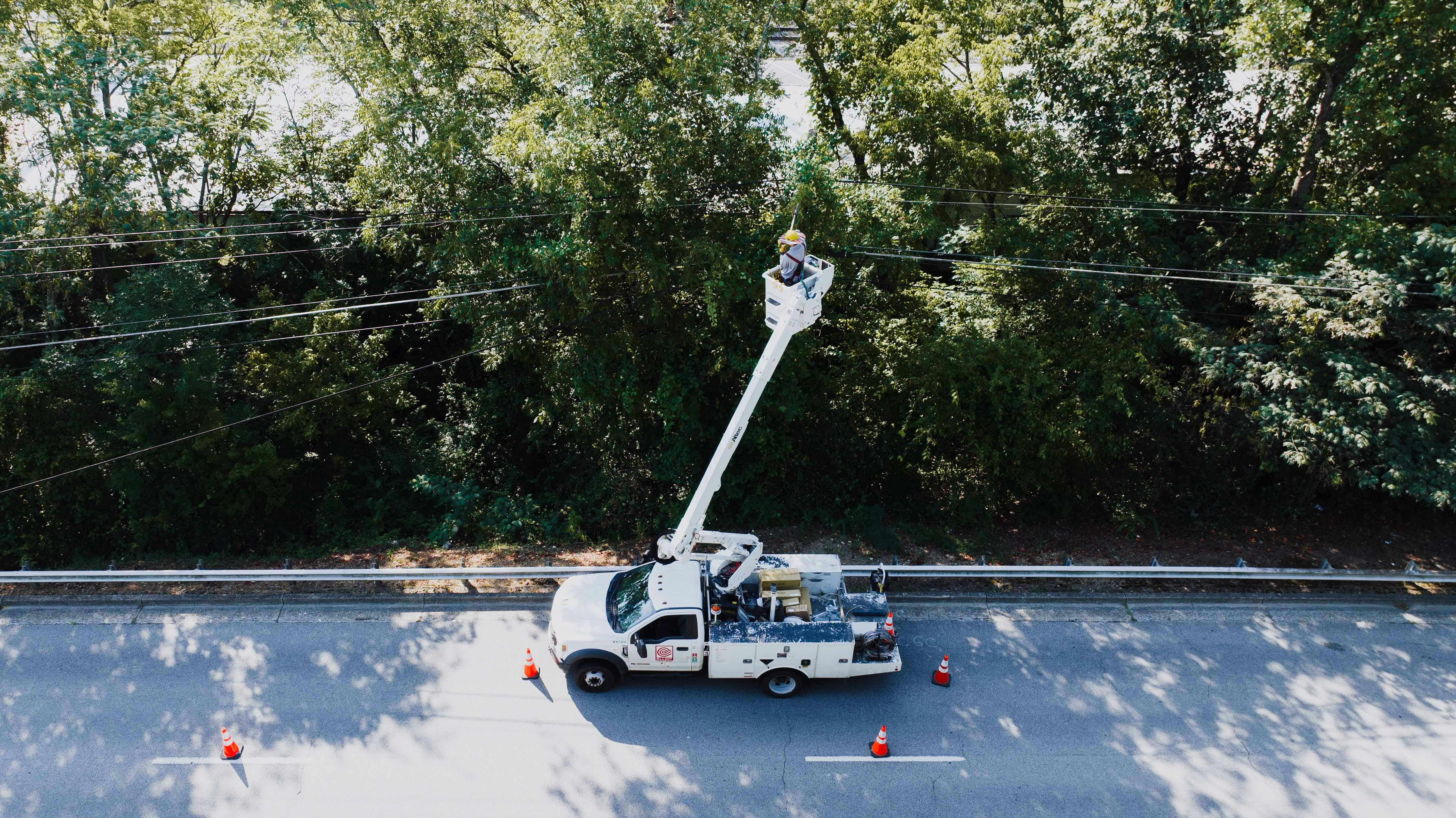
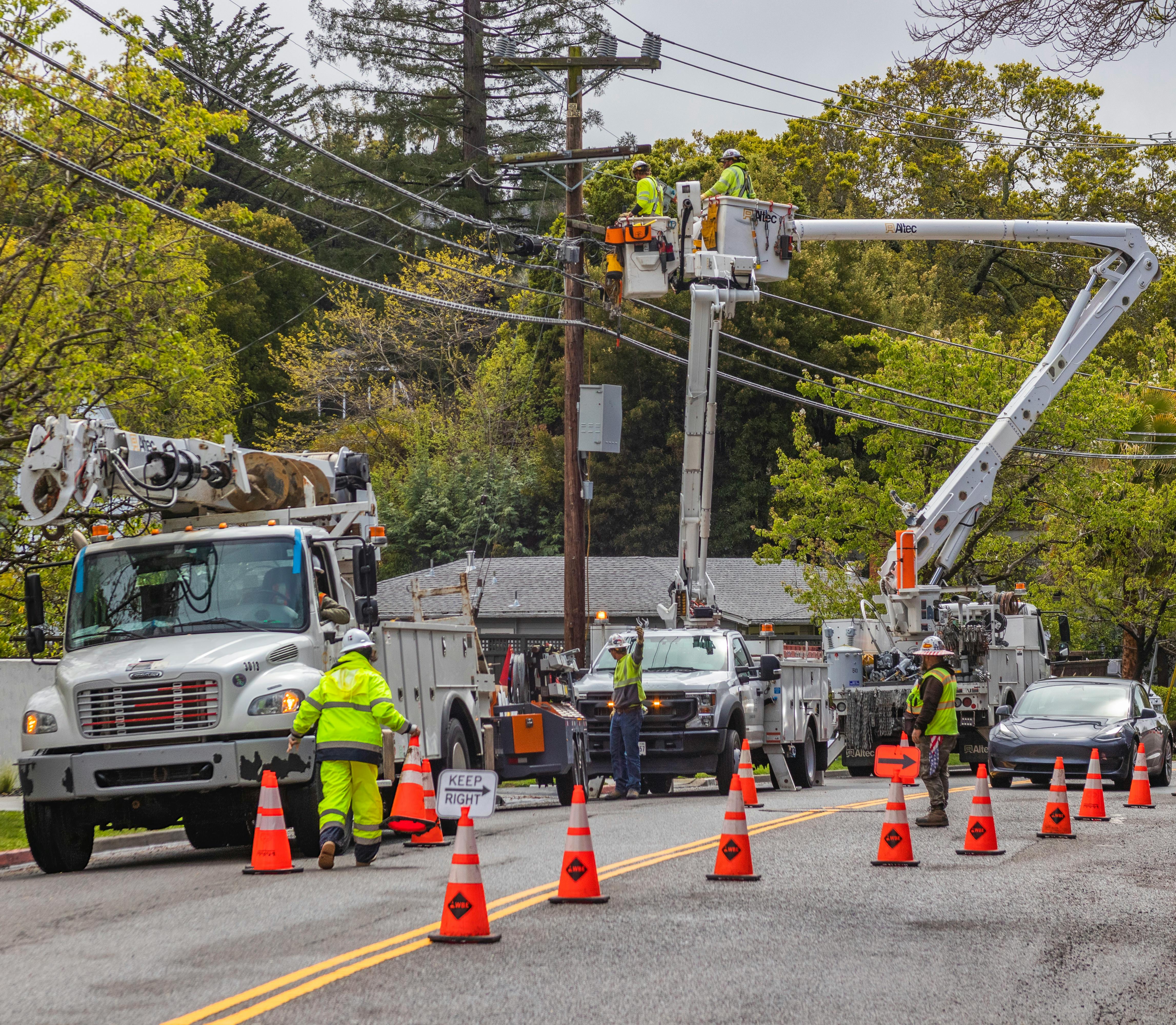

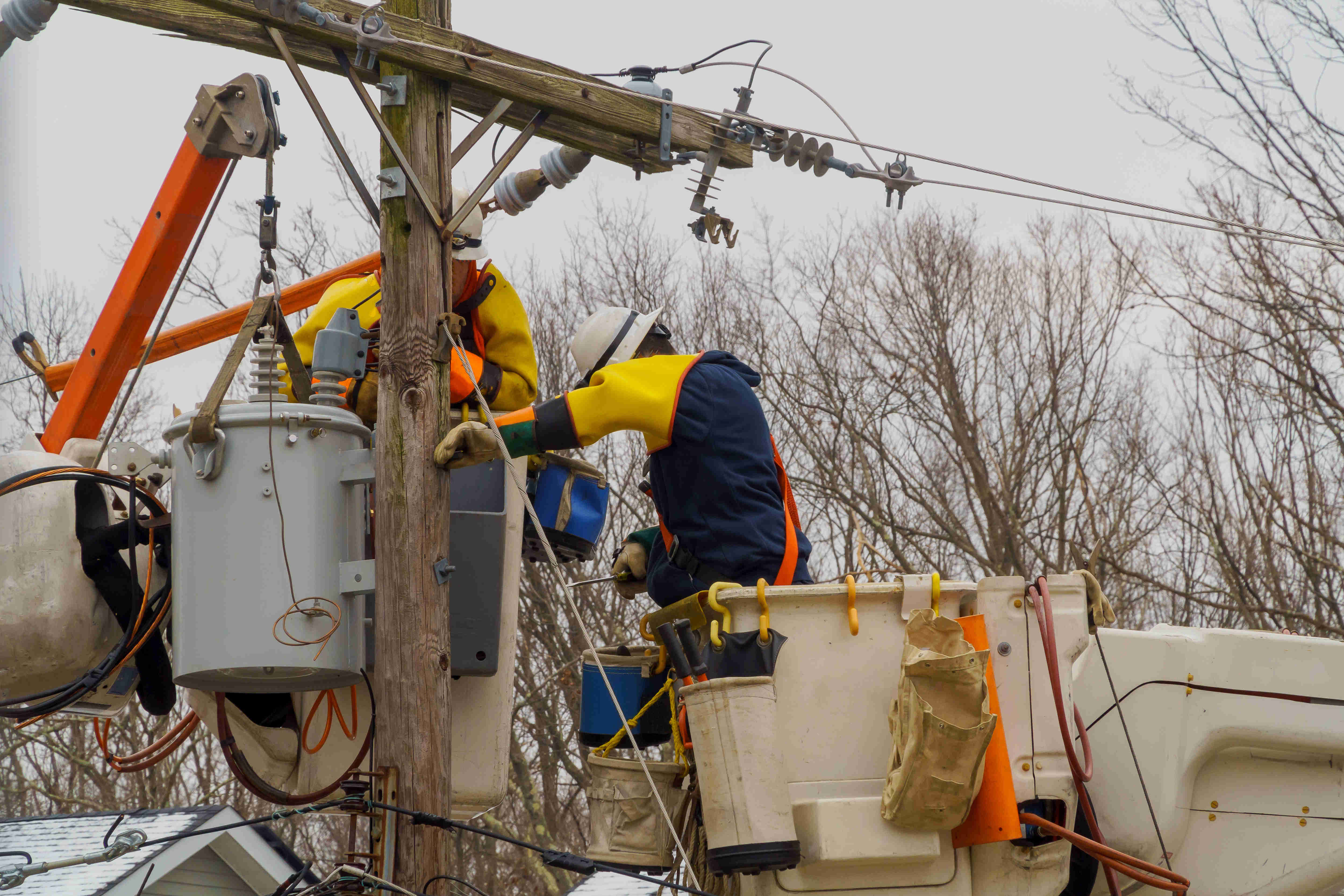
Maintain a live picture of crew locations, staging areas, and road conditions. Dispatch can direct the nearest capable crew, reduce windshield time, and accelerate restoration.
Improve on-time arrivals and ticket turnarounds with real-time vehicle location and accurate ETAs. Alias IDs keep contractor and internal crews clearly labeled in the map.
Geofences, speed visibility, and ignition state help enforce safe driving near work zones. The AVL tracking system records clean timestamps for audits and incident review.
For life-threatening on-site emergencies, get Code Blue alerts that instantly transmit a distress signal and location to dispatch for rapid emergency response.
Share temporary access for partner agencies, keep identities clear with device/alias IDs, and maintain a single operational view without changing your CAD workflow.
Beyond AVL: Fleet and Asset Tracking
Add leadership-ready analytics when you’re ready: utilization and fleet and asset tracking, speed monitoring, driver behavior insights, and maintenance readiness. Keep AVL as the core; turn on the rest when it delivers ROI.
Schedule a Call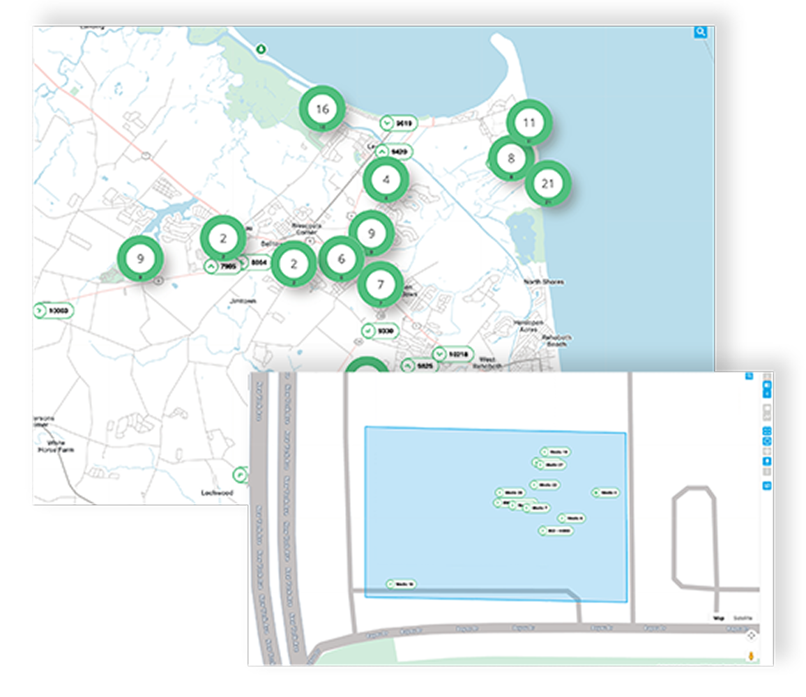

Find out what you could save
Schedule a quick call to discover exactly how we can improve your fleet operations.
+1 800-661-3515Frequently asked questions
A CAD AVL system is an AVL software layer that feeds live GPS-based vehicle location and key status signals into your CAD or OMS.
No. Track Star provides the AVL integration your CAD or OMS consumes. Your teams continue working in their existing system while Track Star supplies the real-time data layer that keeps maps and assignments accurate.
Yes, provided it can accept external AVL via modern APIs or webhooks. We follow a straightforward process: sandbox access, payload mapping, authentication, and go-live monitoring.
Often, no. Track Star is hardware-agnostic and works with approved in-vehicle devices or a mobile SDK, which makes mixed fleets and contractors easier to onboard. If you do need new equipment for specific use cases, we’ll recommend options that fit your budget.
Typical fields include latitude and longitude, speed, heading, ignition state, and device or alias ID so crews are clearly identified on the map. Additional fields can be mapped where your CAD or OMS supports them, ensuring the feed matches your operational and reporting needs.